


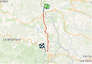

33 km | 46 km-effort

User


FREE GPS app for hiking
 SityTrail
IGN / Geographical institutes
SityTrail World
The world is yours!
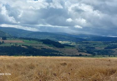
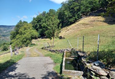
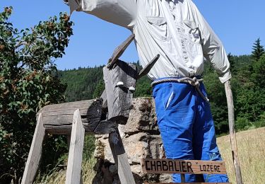
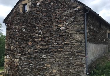
Trail Walking of 25 km to be discovered at Occitania, Lozère, La Bastide-Puylaurent. This trail is proposed by BrassensJC.
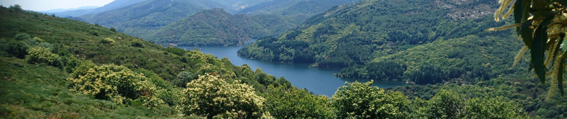
Randonnée difficile suite à la tempête qui a rendue les sentiers impraticables
Temps de parcours incluant les arrêts.


Walking
Walking
Walking
Walking
Walking
Walking
Walking

Walking

Walking